
Giving its name to Yeovil
Yeovil, literally meaning the vil or town on the Yeo, derives its name from the River Yeo.
The River Yeo rises in the North Dorset Downs near Henstridge Bowden and has a total length of 15 miles (24 km). It flows through Sherborne before flowing west before reaching the southern edge of Yeovil where, for a few miles, it is the county boundary between Somerset and Dorset. On reaching Yeovil it turns to flow northwards to Yeovilton and Ilchester. For its last few miles beyond Ilchester (where the Romans built docks and a quay) it is navigable, finally joining the River Parrett near Langport.
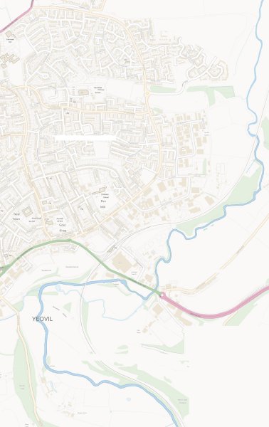
In 1836 Phelps wrote "Another stream rises near Charlton-Horethorne, and waters the vale below, passing by Milborne-port, and is one of the sources of the river Yeo. On the south-west of Charlton one mile, and close to the turnpike road leading to Sherborne, is a pond supplied by seven springs, called the Seven Sisters, and is the source of a small stream, flowing by Pointington, and falling into the Yeo, near Sherborne, which winds its course near Yeovil, and passing Ilchester joins the river Parret near Langport.
The river's name derives from the Celtic river-name of gifl meaning 'forked river'. The abbreviated name, Yeo, was probably influenced by the Old English word ea, meaning 'river'.

Acknowledgements
The Yeo Rivers Community Trust would like to thank Bob Osborn for his permission to use information from his excellent website the “A to Z of Yeovil’s History”